
 40
40Map Symbols Quiz: Test Your Knowledge


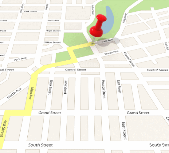
The Map Symbols Quiz is a fun and educational geography quiz that teaches students how to read and interpret the symbols and legends found on maps. Through engaging multiple-choice questions, learners explore common map symbols representing roads, rivers, mountains, railways, parks, schools, hospitals, and other important landmarks, helping them understand how maps communicate information.
This quiz is ideal for kids in Grades 5, 6, 7, and 8, as well as teachers, parents, and homeschoolers who want an interactive way to reinforce geography lessons. It is perfect for classroom activities, homework, exam preparation, and general knowledge practice, making map-reading skills both enjoyable and easy to master.
By taking this quiz, students improve their map-reading skills, geography knowledge, spatial awareness, observation, critical thinking, memory, and problem-solving abilities. They also gain confidence in interpreting maps, understanding geographic information, and using map legends effectively, building a strong foundation for future geography and navigation studies.


 G5
G5 G6
G6 G7
G7 G8
G8 Geography
 Thinking Skills
 Observation Skill
 20
20 10
10 40
40 40
40 10
10 40
40 20
20 1
1 40
40 10
10